Weather · Elevation · Flexible planning

Best Time to Visit the Chocó Andino

Choose dates around the experience you want, then plan for changing cloud-forest conditions rather than expecting a perfect-weather month.

The Chocó Andino de Pichincha Biosphere Reserve extends across a remarkable elevation range. That geography helps create different temperatures, clouds, rainfall, road conditions and ecological rhythms from one locality to another. A forecast for Quito—or even for another town in the region—cannot describe every route. The useful question is not only “When should I go?” but “What do I want to do, where will I do it and what needs checking close to departure?”

No false guaranteesRoute-specific checksWeather marginFlexible priorities
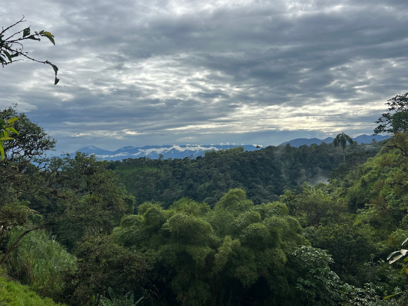
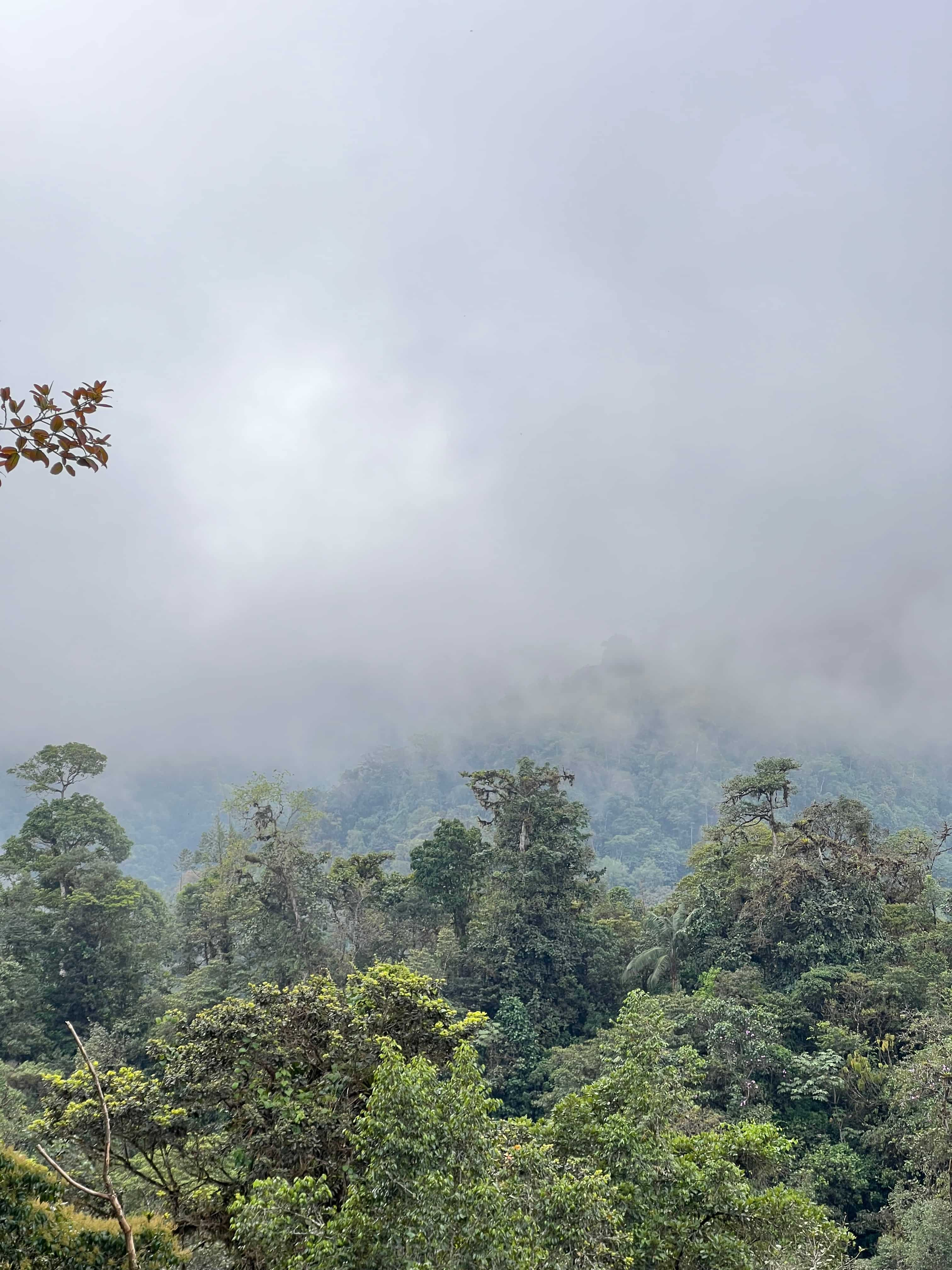
Cloud and mist moving across forested Chocó Andino mountains
Mist and changing visibility are part of the cloud-forest landscape, not automatically a reason to cancel a well-planned visit.

Six factors that matter more than a simple season label

Use these to compare dates and build a route that can respond to the actual day.

Low cloud over layered forest slopes

Cloud-forest pattern

Expect conditions to move

Sun, mist, cloud and rain can appear in the same day. A grey morning may create atmospheric forest views, while a brighter interval may open distant scenery. Avoid building the whole trip around one forecast icon. Use weather information as a planning input, not a promise.

Changing lightFlexible sequence
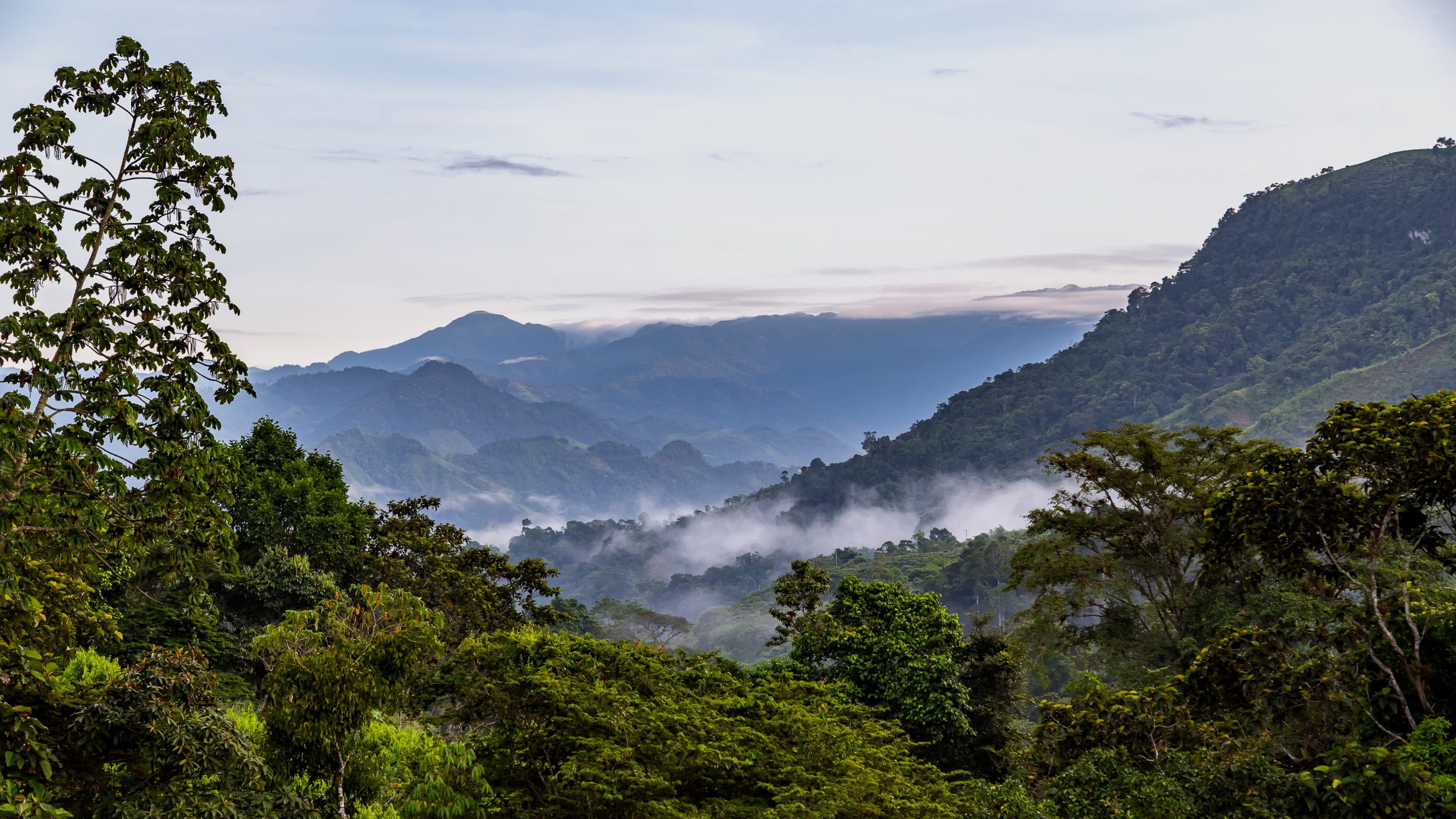
Broad forested territory at different elevations

Elevation

Match the forecast to the place

UNESCO records an elevation range from 360 to 4,480 metres across the biosphere reserve. That scale is one reason conditions differ sharply. Ask for the actual community, reserve, farm or trail rather than relying on a regional average.

Exact localityAltitude matters
Open the travel guide
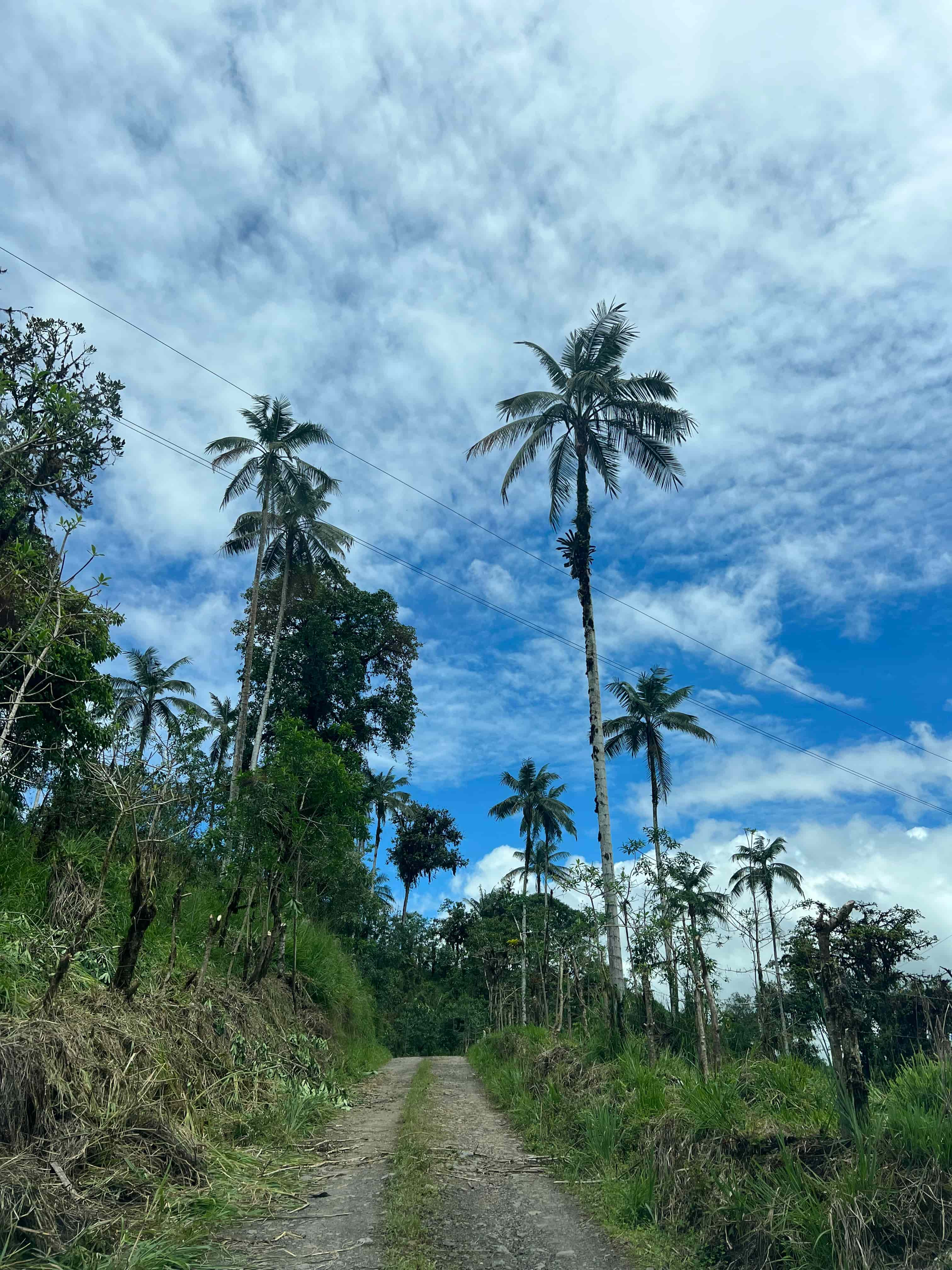
Rural road through green mountain landscape

Road and trail access

Check the route close to departure

Rain can affect unpaved approaches, trail surfaces, river levels and driving times even when the destination remains open. Confirm with the responsible host or operator. Build extra time and never treat an online drive estimate as a guaranteed arrival time.

Current accessTravel margin
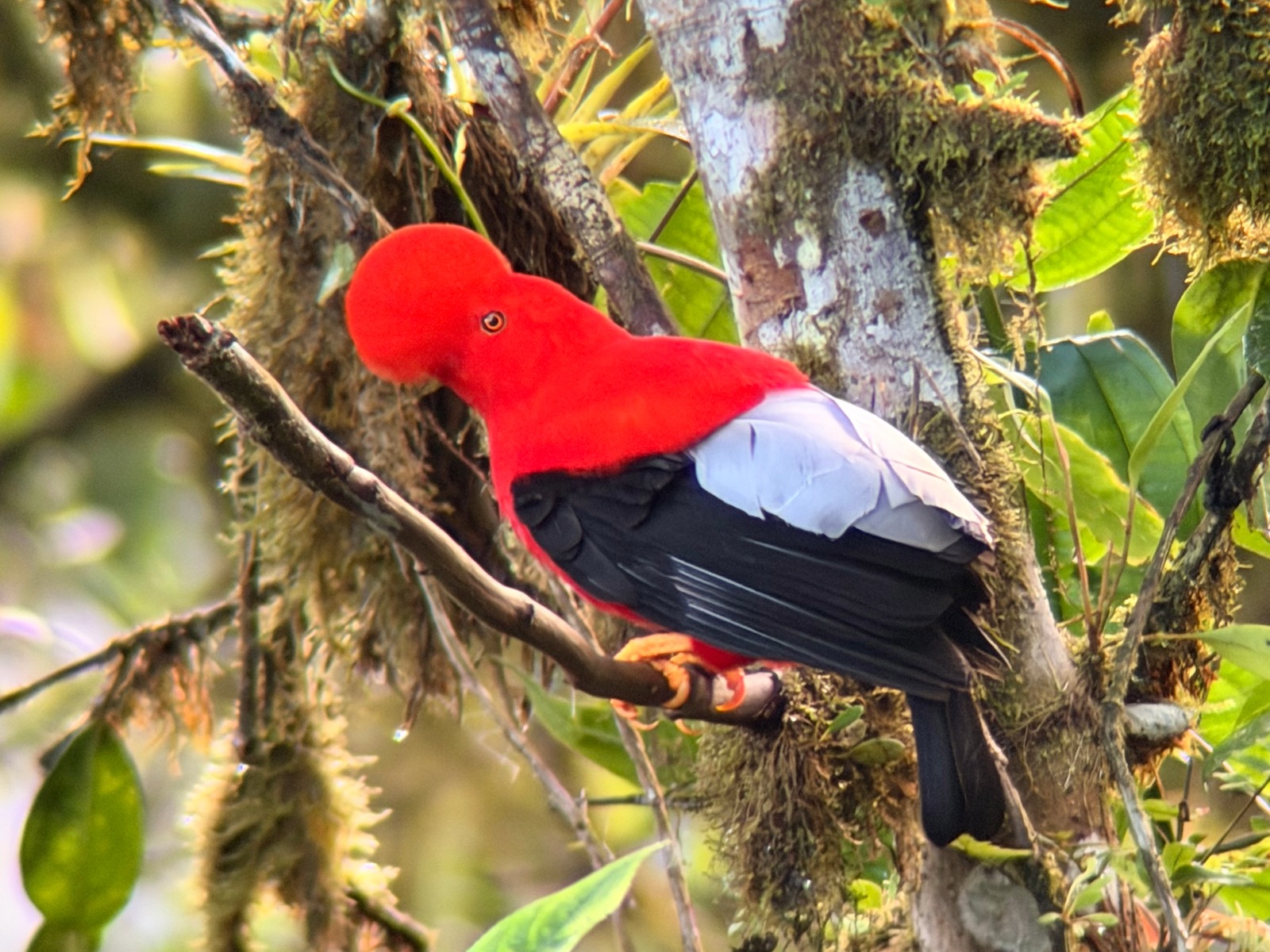
Binoculars prepared for forest observation

Birding and wildlife

Plan around behavior, not guarantees

Early activity and local knowledge may shape a birding plan, but weather is only one variable. Species, habitat, season, noise and luck also matter. A specialist guide can choose a useful window and alternative habitat, yet no ethical operator can guarantee a wild sighting.

Early optionNo sighting promise
Cacao beans drying as part of an active producer process

Farms and producers

Confirm what is active that day

A cacao, coffee or food visit depends on the producer’s work, harvest, drying, preparation and host schedule. Weather may change what can be seen outdoors. Ask which process is actually available rather than assuming every production stage appears year-round.

Host scheduleReal process
Green forest landscape suitable for a flexible route

Trip design

Keep one useful alternative

Pair an outdoor priority with a compatible sheltered, cultural or producer-led option. A route can shift from a distant viewpoint to forest detail, food, history or conversation without becoming a failed day. The backup should still fit the locality and confirmed host.

Primary purposeCompatible backup
Request a flexible route

Choose dates by your real priority

A month name alone cannot answer these practical questions.

Your priorityWhat matters more than a monthConfirm before booking
Birding or wildlifeHabitat, time of day, specialist knowledge, group pace and acceptable weather exposureTarget, site, guide, start time, walking and ethical observation rules
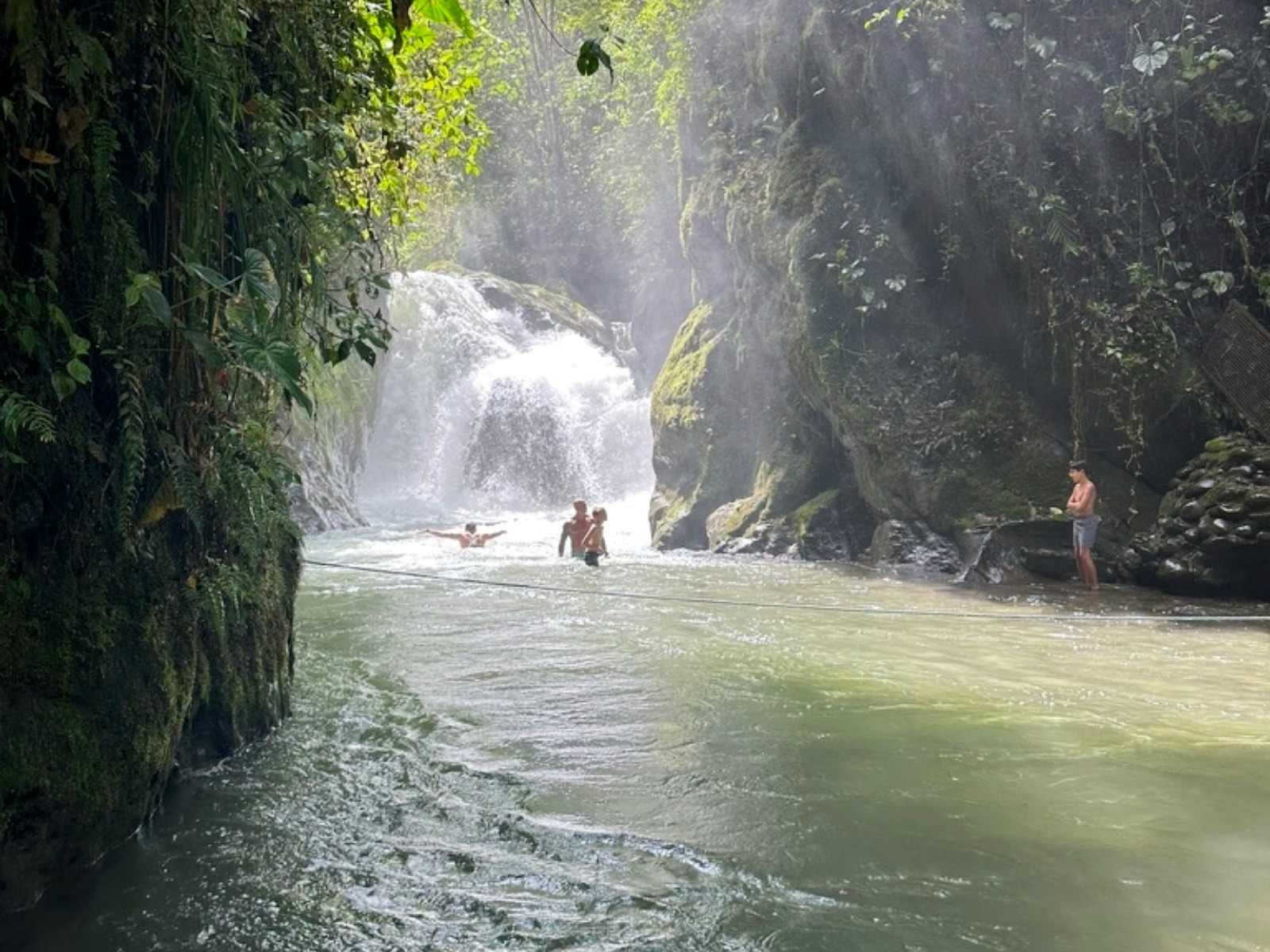
Waterfalls and forest walksTrail condition, water level, footing, difficulty and safe accessCurrent opening, guide, footwear, river conditions and turnaround time
Scenery and photographyVisibility, moving light, route flexibility and patienceViewpoint access, safe stopping areas and an alternative visual subject
Cacao, coffee or foodActive process, producer schedule and sheltered spaceHost, demonstration, tasting, dietary needs and purchases
Short visit from QuitoRoad time, daylight, one focused anchor and return marginPickup, locality, traffic, weather and realistic number of stops

Why a single “dry season” promise is misleading

The reserve crosses lowland humid forest and northern Andean mountain forest over thousands of metres of elevation. Conditions can differ between slopes, valleys and communities, and can change within a day. General seasonal patterns may help with early planning, but they do not guarantee a dry trail, open road, clear panorama or active production process for your date.

For that reason, we use broad climate context only as a starting point. The final decision should use current information from the specific host, reserve, route or operator responsible for the visit.

A simple timing process

Three checks turn a vague weather question into a workable plan.

1. Name the priority

Choose the one result that matters most: birds, forest, waterfall, culture, food, photography or a relaxed scenic day. Rank secondary interests instead of treating every stop as essential.

2. Match the exact route

Identify the locality, elevation, road surface, walking demand and host. Compare the route with the group’s mobility, clothing, time and comfort in rain or mud.

3. Reconfirm and adapt

Check access and short-range conditions near departure. Keep a reasonable backup and let the guide or host change the order when the day requires it.

Weather and timing questions

Use these answers before committing to a fixed plan.

What is the best time to visit the Chocó Andino?

There is no single best month for every visitor or locality. Choose according to your main experience, then confirm current rain, visibility, road and trail conditions for the exact route.

Does a drier forecast guarantee clear views?

No. Cloud, mist, light and rain can change quickly in a mountain cloud-forest region. A flexible route and a second visual or cultural priority are more useful than a guarantee.

Can I visit during rainy weather?

Often yes, and mist or rain can be part of the forest experience. However, road, trail, river and waterfall conditions may require a different route. Follow current local guidance.

What should I confirm before departure?

Confirm the locality, elevation, activity, access, transport, road and trail conditions, host schedule, clothing, footwear, food and a realistic backup plan.

Sources and planning basis

This guide uses the UNESCO biosphere reserve profile for regional geography and elevation context, and our first-party Experience Ecuador Chocó Andino guide for destination pacing, shifting visibility and route-planning context. Neither source replaces a current access or weather check for a specific property or trail.

Choose a route that can work with the day

Share your dates, starting point, group, main priority and comfort with walking or rain. We will identify what needs confirmation and where flexibility belongs.