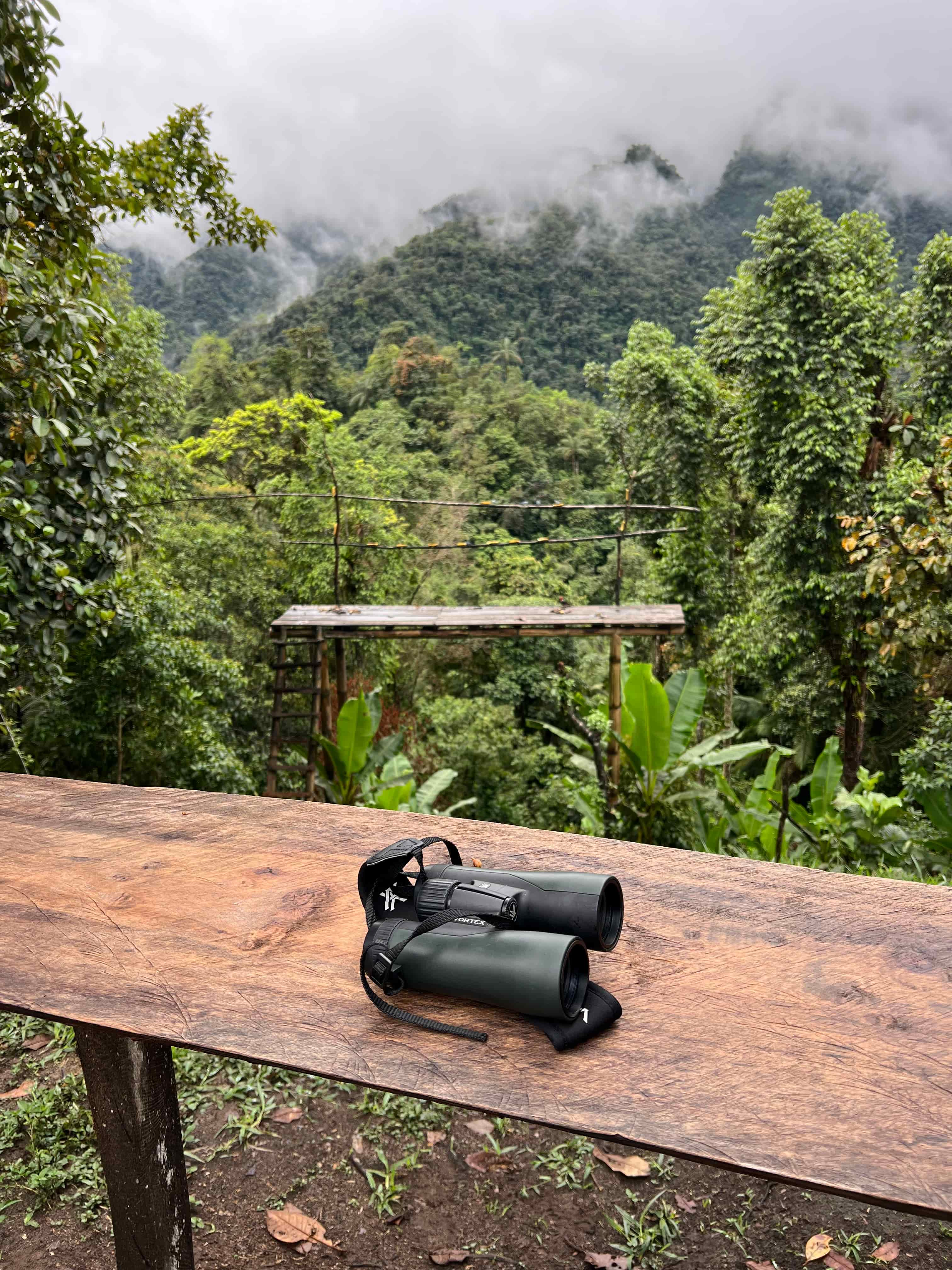
Cloud forest · Rivers and waterfalls · Current conditions

Cloud Forest and Waterfalls in the Chocó Andino

Water shapes the landscape, but a beautiful waterfall photograph does not tell you whether the trail, road or entrance is suitable today.

The Chocó Andino crosses a dramatic elevation range and contains humid forests, mountain slopes, rivers and rural watersheds. That variety creates many kinds of forest-and-water experiences: roadside viewpoints, short managed walks, longer trails and local recreation areas. Plan around one named place and verify who manages it, how access works and what the weather has changed.

Named site firstTrail status checkedWeather consideredWater safety confirmed
Cloud forest landscape shaped by mountain watersheds
Waterfall access depends on the specific site, current trail conditions and recent weather.

Understand the landscape before choosing the route

“Cloud forest and waterfalls” describes a setting, not one standardized activity.

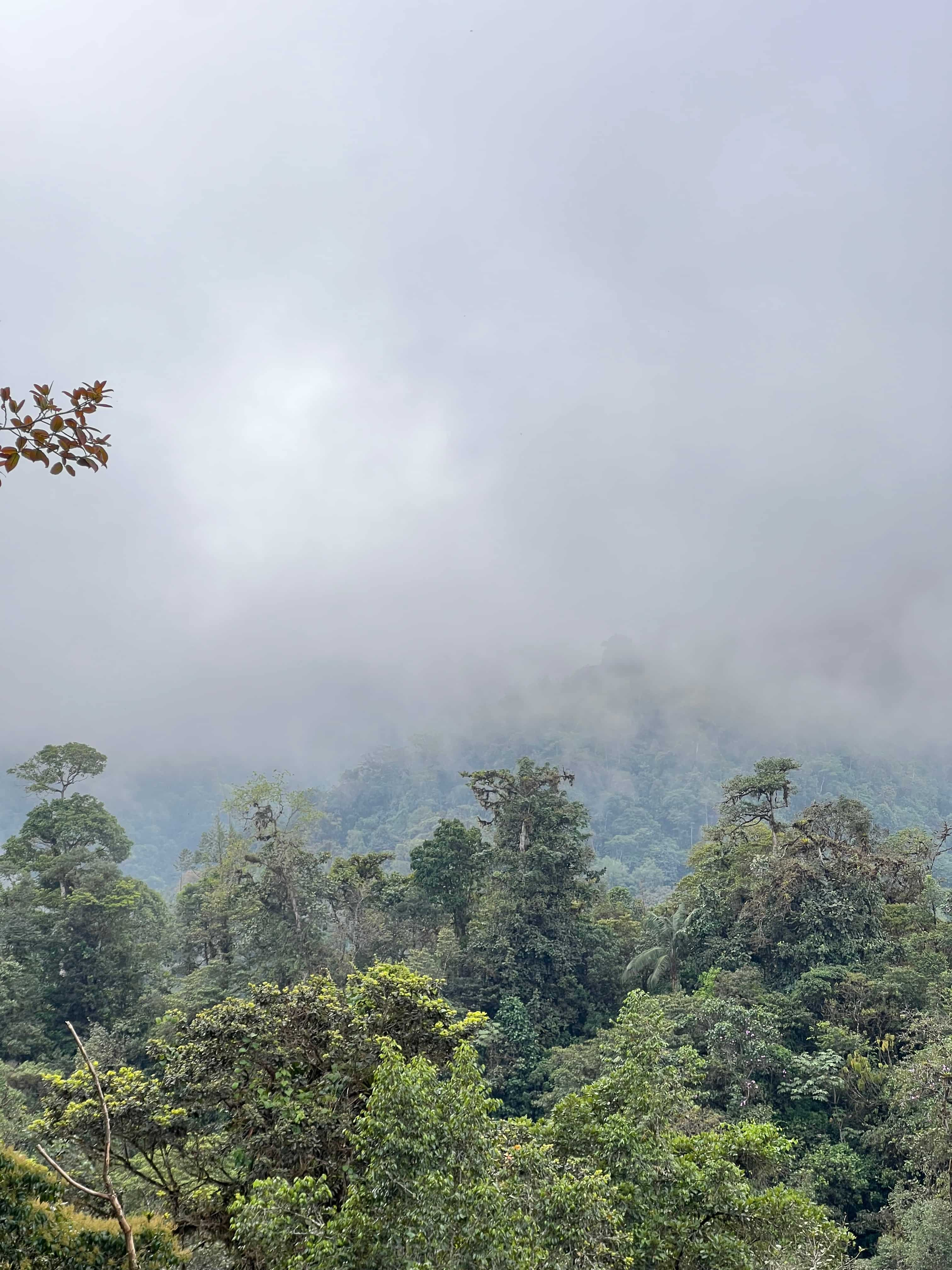
Cloud layers crossing forested mountain slopes

Landscape gradient

Cloud forest changes with elevation

Temperature, mist, vegetation, road exposure and walking conditions shift across the region. A route near a mountain ridge may feel very different from a humid lower-elevation river valley.

ElevationMicroclimate
Learn about the biosphere
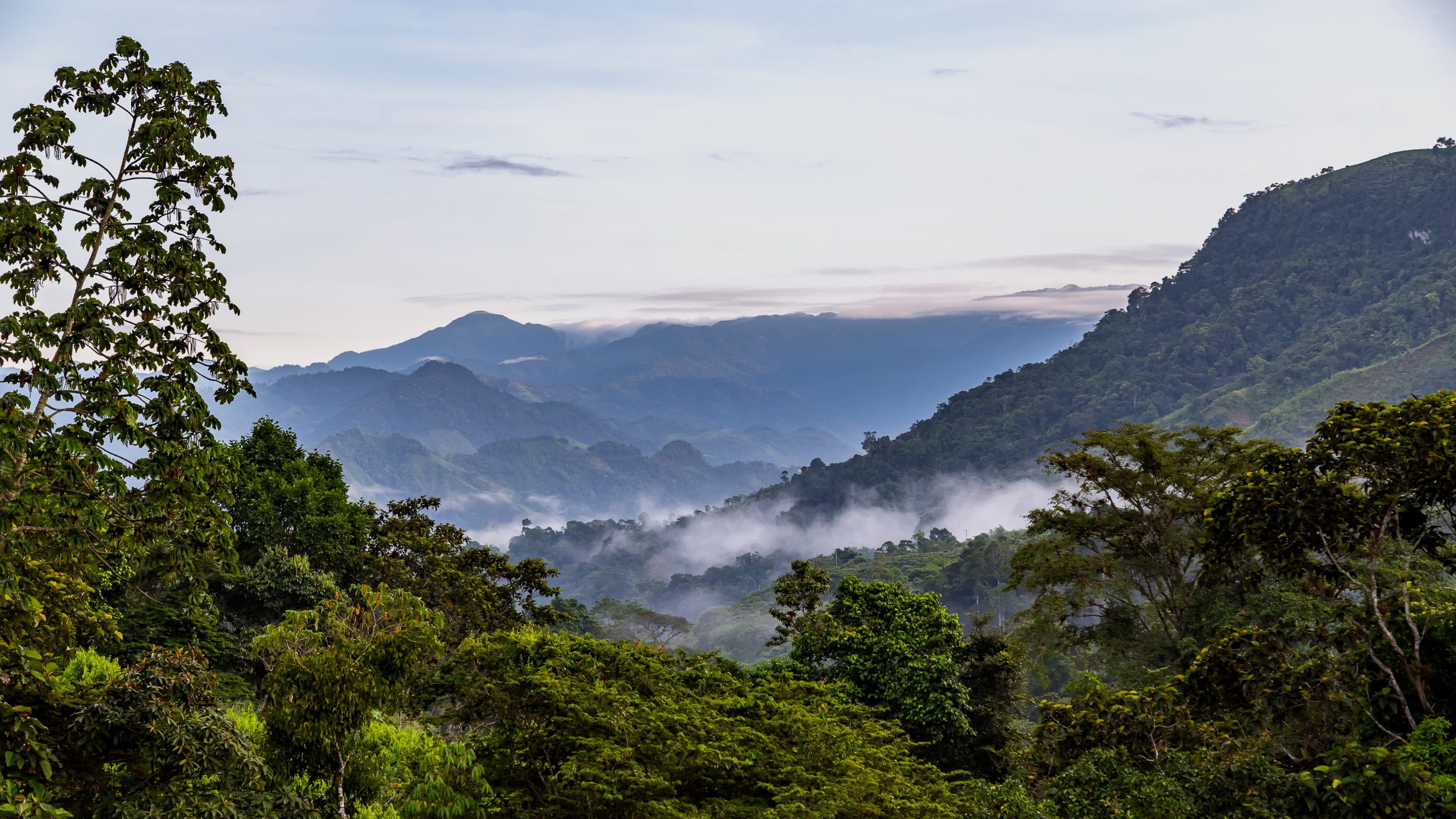
Humid cloud forest shaped by rivers and rainfall

Watershed feature

A waterfall is part of a living river system

Flow, color, spray and nearby footing can change with rain. Treat the river as a dynamic environment, not a fixed photo stop, and follow the site manager’s current guidance.

Recent rainRiver conditions
Travel responsibly
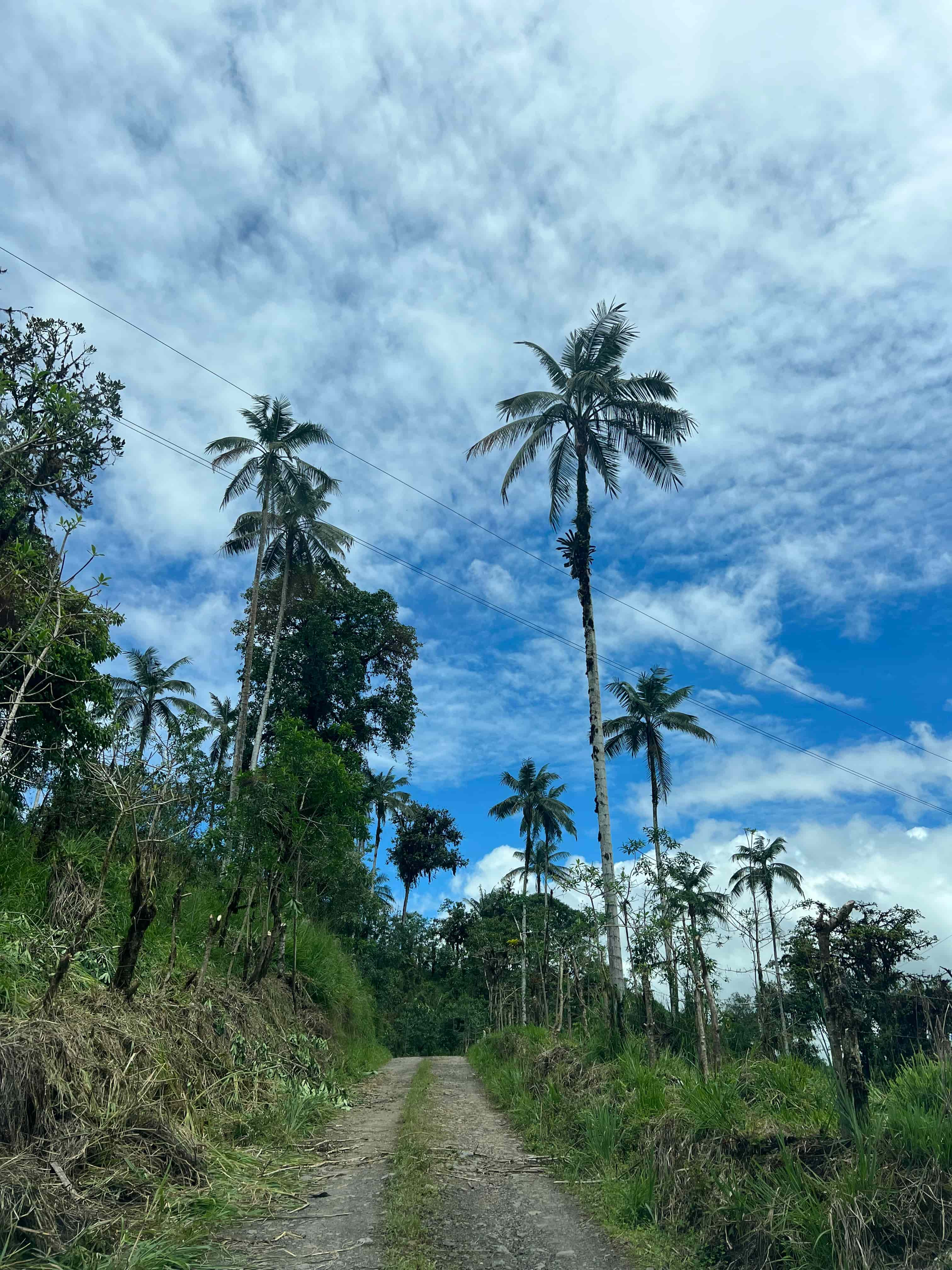
Rural entrance road leading into forest

Managed access

Confirm the named site and entrance

Some places have a ticket desk, local guide, operating hours or community management. Others require advance coordination. Do not assume an online map pin is a public trailhead.

Manager identifiedHours checked
Ask about access
Mountain forest with steep terrain

Trail reality

Match the walk to the group

Ask about distance, time, steps, mud, bridges, handrails and elevation change. A short trail can still be demanding when the surface is wet or steep.

DifficultyMobility
Review planning basics
Traveler viewing wet cloud forest conditions

Weather and safety

Build flexibility into the day

Rain is part of the ecosystem. Carry suitable footwear and protection, leave time buffers and accept a route change when local staff identify unsafe water or trail conditions.

Flexible planLocal decision
Compare seasons
Green forest landscape near Mindo

Planning boundary

Keep Mindo activity searches local

Mindo has recognizable waterfall and adventure options. Those transactional comparisons belong on Mindo Tours; wider landscape and route questions belong in the regional guide.

Clear handoffNo duplication
Plan Mindo waterfalls

Compare common forest-and-water formats

The right choice depends on current access and the group, not only the view.

FormatUsually works forConfirm before leaving
Landscape viewpointShort stops and broad regional contextRoad shoulder, visibility, safe stopping place and weather
Short managed trailTravelers wanting a defined entrance and moderate walkHours, ticket, steps, surface and guide requirement
Longer forest hikeActive travelers with time for a primary nature experienceDistance, elevation, mud, return time and emergency plan
River or waterfall areaScenery, forest interpretation and photographyRecent rain, water access, swimming rules and trail status
Specialist nature outingBirds, plants, photography or target habitatsSpecialist guide, start time, reserve and realistic objectives

Regional source note

The UNESCO profile for the Chocó Andino de Pichincha Biosphere Reserve describes an elevation range from 360 to 4,480 meters and a transition between humid Chocó–Darién forests and Northern Andean mountain forests. Quito’s tourism authorities also identify northwestern Pichincha for cloud-forest landscapes, rivers and waterfalls. These sources establish the regional setting; they do not replace current site-level access or safety information.

Plan the visit in three decisions

A simple sequence protects both the experience and the group.

1. Name the place

Choose the actual waterfall, trail or managed area. Save the correct entrance rather than a generic landscape pin.

2. Match the group

Share mobility, footwear, ages and preferred walking time. Ask for an honest description of the current trail.

3. Reconfirm conditions

Check weather, road and water conditions close to departure and allow the local manager to adjust the plan.

Responsible water access

Stay on authorized paths, respect closures and private property, carry out waste and avoid soaps or chemicals in rivers. Never interpret a quiet-looking pool as proof that swimming is allowed or safe. Local restrictions and recent weather take priority over an old review, photograph or itinerary.

Cloud forest and waterfall questions

Confirm the operational details for the specific place you intend to visit.

Where can I see waterfalls in the Chocó Andino?

Several areas have rivers and waterfalls, but access varies. Choose a named operating site and confirm its entrance, trail and road conditions.

Is a waterfall visit suitable for everyone?

Not automatically. Wet steps, uneven trails and elevation changes matter. Ask for current details before confirming.

Can I visit after heavy rain?

Conditions can change quickly. The manager should confirm trail status, river behavior and whether access remains appropriate.

Should I book Mindo waterfalls here?

General Mindo waterfall and activity planning belongs with Mindo Tours. This page supplies wider regional context.

Choose a real place, then confirm the conditions

Tell us the date, group, starting point and preferred amount of walking. We will help identify a realistic regional route.